Agriculture & AgriTech
Data-Driven Precision Farming from Soil Sensors to Satellite Telemetry
Modern agriculture depends increasingly on precision sensors, satellite imagery, automated irrigation, and predictive weather analytics to maximize crop yields while conserving water and fertilizer. Nexora Labs builds AgriTech software platforms, IoT soil sensor telemetry dashboards, drone imagery analysis pipelines, and farm management applications engineered to withstand remote rural connectivity constraints.
Agriculture & AgriTech Architecture & Real-Time Telemetry
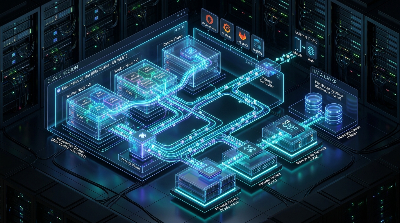
Envoy Ingress & Rate Limiter
Traffic RouterGlobal ingress controller distributing traffic with dynamic TLS termination and WAF filtering.
Industry Bottlenecks & Challenges
Harsh Rural Connectivity Limitations
Farm fields often lack reliable cellular coverage, necessitating LoRaWAN edge sensor networks and offline mobile synchronization.
Multi-Source Geospatial Data Fusion
Aligning NDVI satellite imagery, drone scans, weather radar forecasts, and ground moisture sensor readings into actionable maps.
Extreme Environmental Conditions
IoT sensor battery life and data transmission resilience under blistering heat, freezing winters, and heavy precipitation.
Nexora Labs Solutions & Capabilities
Precision Farming & Soil Telemetry Dashboards
Real-time field maps tracking soil moisture, salinity, ambient temperature, and automated precision irrigation valves.
Crop Health & Yield Forecasting Analytics
Computer vision and machine learning models analyzing multispectral imagery to detect early pest infestations and predict yield.
Farm Management & Equipment Telematics
Offline-capable mobile apps for tracking seed lots, fertilizer application records, tractor fuel telemetry, and labor hours.
Example Applications & Systems
- LoRaWAN soil moisture and automated drip irrigation control portals
- Drone and satellite multispectral crop vegetative index (NDVI) mapping platforms
- Agricultural commodity harvest inventory and grain elevator tracking systems
- Livestock biometric health telemetry and grazing geofence monitors
Industry Standards & Integrations
- LoRaWAN gateways and The Things Network (TTN)
- Sentinel-2 and Landsat Earth observation satellite APIs
- John Deere Operations Center API
- NOAA and ECMWF weather forecasting models
Sector-Specific QA Considerations
- •Offline mobile data store replication testing over intermittent 2G/EDGE networks
- •Geospatial polygon boundary calculation tests across multi-thousand-acre farmland coordinates
- •Battery drain benchmarking for field worker mobile apps in direct sunlight
Security & Regulatory Safeguards
- ✓Protection of proprietary crop genetic strain data and farm financial yields
- ✓Encrypted LoRaWAN payload transmissions preventing remote tampering with irrigation gates
- ✓Strict role-based access separating tenant farm records in co-op agricultural platforms
Relevant Engineering Practices for Agriculture & AgriTech
Case Studies in Agriculture & AgriTech
AgroSense: Precision AgriTech IoT & Soil Telemetry Platform
Empowering 12,000 Farmland Acres with Real-Time LoRaWAN Soil Telemetry and Precision Irrigation
Consult with Our Agriculture & AgriTech Practice
Our senior architects are ready to review your sector compliance, data pipelines, and architecture.